Farm plot mapping & asset management — everything on one screen
Agricultural GIS platform enabling you to draw and manage plots directly on satellite maps. Attach farming logs, IoT devices, and irrigation/fertilization history to each plot — farm assets always fully tracked.
- Draw plots directly on satellite maps — no specialized GPS required
- Pin IoT devices, irrigation valves, and NMC stations on the map — instantly see which device is in which plot
- Automatic area calculation when drawing plots — standardize farm land records

Challenges you're facing?
No clear plot maps, difficult to assign tasks and monitor individual zones
GIS draws accurate plot boundaries with names and codes — managers and workers share the same map
Many IoT devices, unclear which device is in which zone
Each device is pinned with GPS coordinates on the GIS map — click icon to view status and data instantly
Manual area calculations have errors, affecting material and labor planning
GIS computes plot area automatically as you draw — using true earth curvature, not a flat-plane estimate
Key features
Built for Vietnamese agribusinesses — no complex setup, ready to use from day one.
Maps & Plots
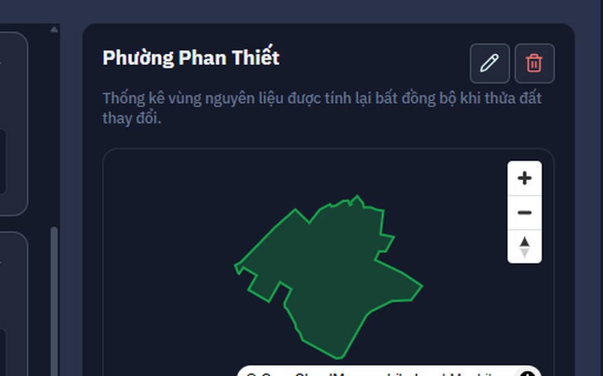
Draw Plots on Map
Use finger or mouse to draw plot boundaries — automatically calculates area
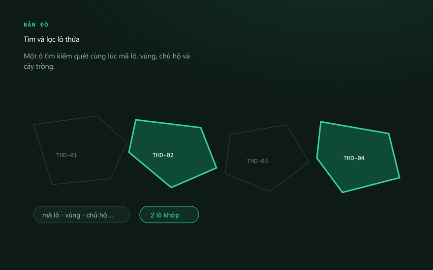
Plot Search & Filter
One search box matches plot code, zone, owner and crop at once — plus a status filter
Updated Satellite Imagery
Esri satellite imagery as the base map — view crop condition from above
Asset Management
Pin IoT Devices on Map
Each NMC node, irrigation valve, and camera has a position on GIS — instantly know which device is in which plot
Per-Plot Activity Log
View complete irrigation, fertilization, and harvest history for each plot on the map
Area Report Export
Export plot list with area and owner information for internal or cooperative reporting
Get started in 3 steps
Register and enter your farm
Enter farm information, select location on the Vietnam map
Draw plots
Zoom into satellite imagery, draw each plot — set name, plot code, crop type
Attach devices & monitor
Link IoT and irrigation valves to each plot — monitor everything on one screen
Nextfarm GIS works powerfully with:
Data shared in realtime between modules — no manual import/export needed.
Frequently Asked Questions
Nextfarm GIS works best when combined with:
Data shared in realtime between modules — no manual import/export needed.